Sourcing note. This card rests on UNESCO's own text and Wikipedia. No independent source has been added yet, so read it as an outline, not as a finished account. It was published without a prior review by people from the place. If something is wrong or missing, tell the project.
This card keeps two kinds of knowledge apart: what the documented record says, and what the people who know the place say. Each is labelled, so a reader always knows which one they are reading.
In the record cited to a source
From people who know this place one person's experience, shown as theirs
UNESCO describes the property in these words: “Located in the Far North Region of Cameroon, the property includes sixteen archaeological sites across seven villages. Known as Diy-Gid-Biy (meaning “Ruin of the Chief’s Residence” in the Mafa language), these dry-stone architectural structures were likely built between the 12th and 17th centuries. While their original builders remain unknown, the area has been inhabited by the Mafa people since the 15th century. The surrounding landscape features agricultural terraces, homes, tombs, places of worship, and artisan activities, reflecting a long-standing cultural and spiritual connection between the people and their environment.”[1]
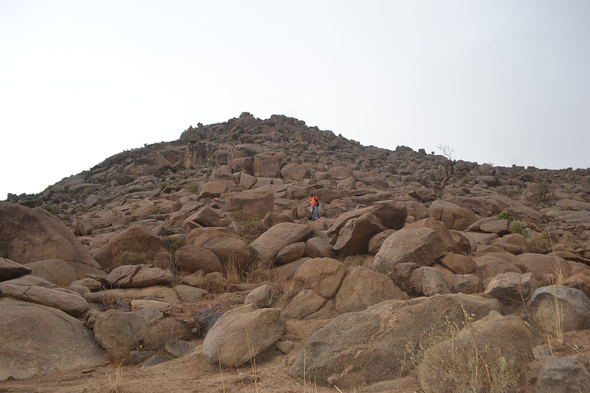
The Mandara Mountains are a volcanic range of about 190 km along the northern part of the Cameroon–Nigeria border. Wikipedia gives the highest point as Mount Oupay, at 1,494 metres.[2] It says the region is densely populated, mainly by speakers of Chadic languages, including the Mofu and the Kirdi, and that extensive archaeological research has been done there, including at the Diy-Gid-Biy sites.[2]
Not yet sourced
What the Diy-Gid-Biy sites are and what the research found. The article names them without describing them.
The people who live there, in their own words.
Local voices: none yet.
Sources
Institutional[1] Diy-Gid-Biy Cultural Landscape of the Mandara Mountains. UNESCO World Heritage Centre, World Heritage List (open data, CC BY-SA 4.0). whc.unesco.orgretrieved 7 Oct 2026 Read from UNESCO's open-data record (data.unesco.org, dataset whc001); the web page itself could not be opened from this project's tools. Texts are UNESCO's own.
Encyclopedia · to verify[2] Mandara Mountains. Wikipedia. en.wikipedia.orgretrieved 7 Oct 2026 Used for background that the UNESCO record does not give. Each statement is limited to the article's lead and opening sections; confirm against specialist sources.